Engineering Geophysics
Olson performs geophysical investigations for civil structures, geotechnical site investigations, and geological characterization. Because of the cross-over between Olson’s Non-destructive Testing (NDT) and engineering geophysical service capabilities, our clientele can cover a broad spectrum of service needs from the scale of small structures to exploration scale geophysical investigations. Our specialty is to take the newest geophysical methods and apply them to new and old problems to maximize our client’s understanding of their site.
Our group of geophysicists at Olson has a wealth of experience conducting engineering geophysical project work. We enjoy the unique applications, difficult problems, use of state-of-the-art instrumentation and software to conduct safe and fulfilling field work. This is our bread-and-butter.
Olson successfully applies seismic, electrical, electromagnetic, magnetic, and ground penetrating radar geophysical methods for engineering applications. Our goal, on every project, is to meet or exceed the objectives. When it comes to complex engineering or geologic problems, it may be necessary to use multiple methods. Olson will work with you and the client owners to create a field program that is objective driven and budget conscious. We understand the need to be competitively priced, in order to help you win the program as a whole.
Our geological and engineering clients appreciate that we make a concerted effort to understand the project objectives; but additionally, we want to understand the purpose of the project. A quick example is measuring the depth-to-bedrock, a routine geophysical survey; this represents the objective. However, when we understand that the purpose of the study is to design a sophisticated foundation for a complex and extremely high-load facility, we can adjust our field survey parameters to provide more than depth, but also the low-strain elastic moduli of the subsurface to facilitate the structural engineer’s needs. Our geophysicists have specialty training in soils and rock mechanics, geology and groundwater. This permits our staff to interact with a wide variety of clients at a technical level, providing more confidence in the application of geophysics and the use of the results. We are proud that we take the time to provide more than data, more than interpreted earth-models of the subsurface. Our clients enjoy the interaction with our staff as we integrate their data (e.g., geologic or geotechnical information) to achieve more than the objective but satisfy the purpose of their program. We know drilling, understand sampling techniques and how they need to ‘ground-truth’ our geophysical results & interpretations. It is this understanding of both geotechnical site investigation techniques and geophysical imaging benefits and limitations that increases our ability to deliver a better product.
The staff has both OSHA HAZWOPER and MSHA health and safety training, with annual refresher courses. The group is skilled at addressing the ‘devil-in-the-detail’ for engineering needs of precision and accuracy. We regularly integrate our client’s data, and also export our end results in a format for direct use in CAD, MINEX, and GIS for our clients. We have CAD and GIS capabilities, but prefer to export out data for use by specialists in the client’s staff, but the background for these database systems affords top-level discussions on how to present the data.
It is our goal to provide the most accurate information from the subsurface for your geologic or engineering problem, with the most effective approach (i.e., geophysical method), and do it in the most economical fashion possible. We understand engineers better than most, because half of Olson Engineering is staffed by engineers; they continually push the geophysical group to produce usable results. Our product will result in reduced risk for your engineering needs. Contact us to determine if engineering geophysics can aid your program goals; if we or geophysics cannot, we will tell you upfront. We do not need another project as much as we need satisfied clients.
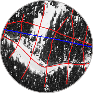
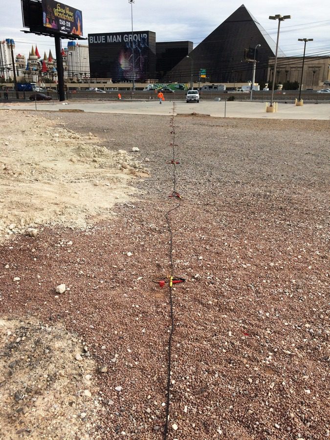
Applications of Sub-Surfacing Imaging
Depth-to-bedrock or thickness of overburden
Geometry of bedrock
Competency of bedrock - for foundation design or excavation needs (e.g., rippability)
Lateral variability of soil stiffness
Vertical variability of soil stiffness
Low-strain elastic constants
Presence (or absence) of caliche
Presence of faults
Depth to water table
Dam stability
Dam seepage
Levee assessment
Foundation and/or abutment characteristics for dams and levees
IBC Site Classification - Vs30 (meters)
Obstacles to construction – for pipelines, cut-off walls, MSE walls, utilities, or retention ponds
Landslide and slope monitoring; slide plane detection
Karst – in limestone and dissolution in gypsiferous bedrock settings
Lithologic changes – lateral and vertical, particularly in soil deposits
Reuse of foundations – particularly for bridges
Man-induced collapse features (engineering failures)
Quality control for ground improvement (e.g., DDC, soil-mix columns, or jet grouting)
1D, 2D or 3D assessment of small or large sites for geologic anomalies
Permafrost thickness and stiffness
Soil and bedrock characterization below active rivers